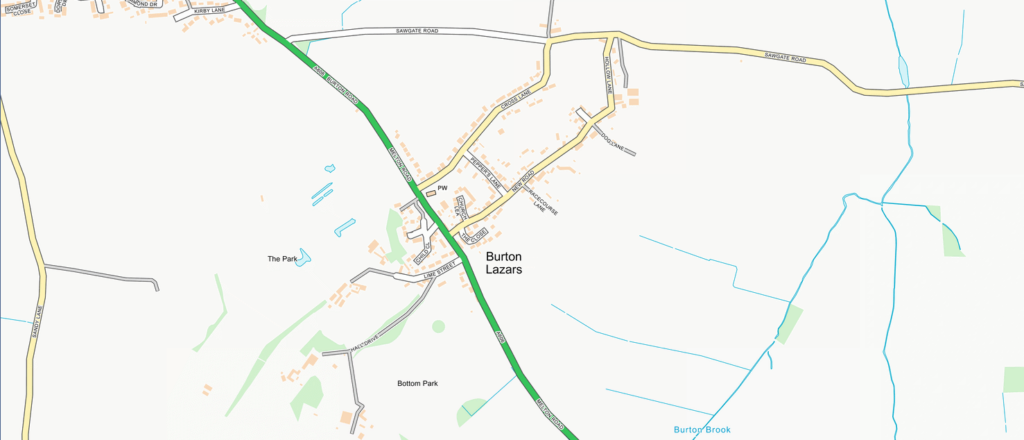
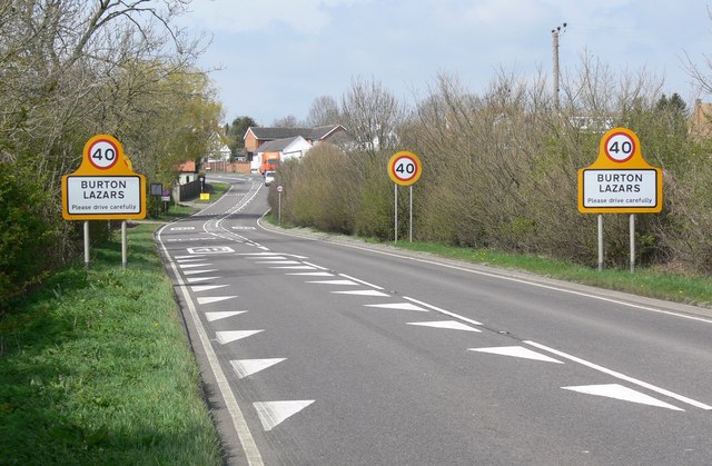
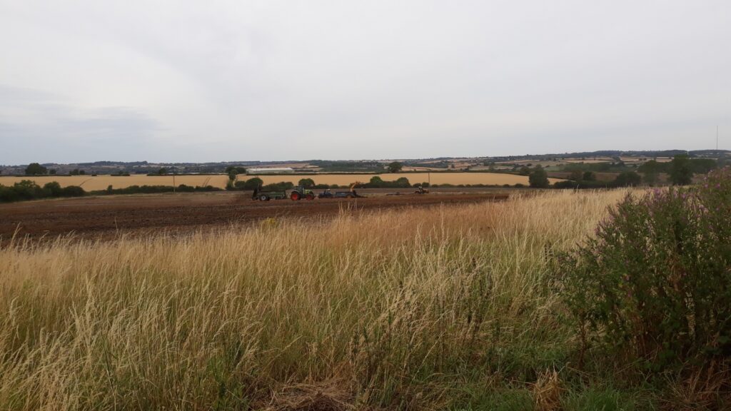
Burton Lazars is situated approximately 1.5 miles south east of Melton Mowbray in the heart of rural east Leicestershire. Part straddles the main A606 Melton Mowbray- Oakham Road…
Mat Fascione / A606 Melton Road entering Burton Lazars
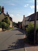
…but much of the village is tucked away on either side with a peaceful and relaxed feel about it.
Burton Lazars has a population of around 400 and, with a hilltop position, commands magnificent views in all directions.
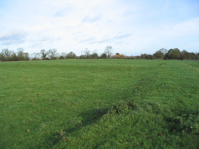
It has a long history. The name ‘Burton’ originates from Saxon times. It was known as Burton Sancti Lazari after Lord Mowbray’s foundation of a Leper hospital (in circa 1160). Building foundations remain of the medieval Lazar house, which was the headquarters for the Crusading Order of St Lazarus in England.
Tim Heaton / St Mary and St Lazarus Hospital (site of), Burton Lazars
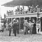
In the 1930’s the village boasted a racecourse, with the then Prince of Wales, later King Edward VIII, a regular visitor.
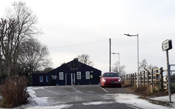
The Village has a very active Village Hall with numerous activities and functions taking place on a daily basis.
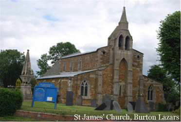
The local church is St James’, part of the Team Ministry centred on St Mary’s in Melton Mowbray.